If you need to find out what is underwater, we can tell you without getting our feet wet!
What is it?
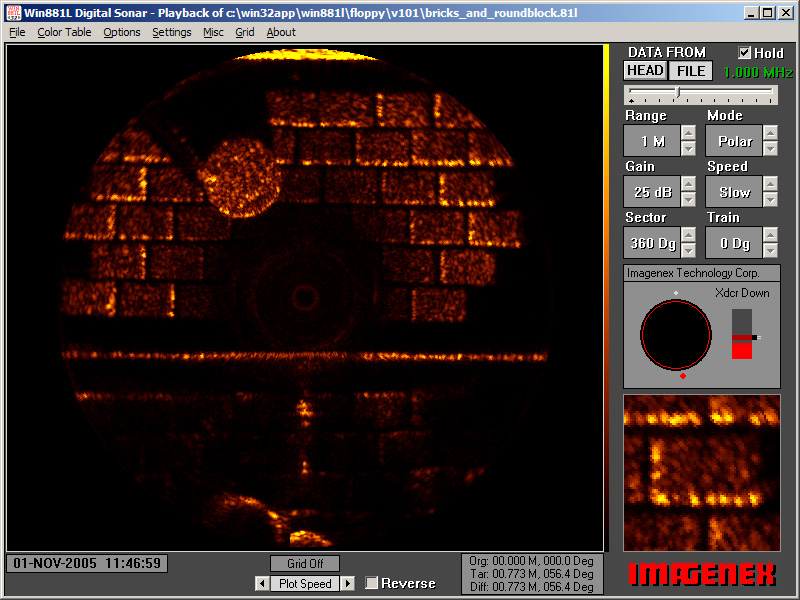
Our remote Cameras and Scanning Sonar can penetrate black water to see what is there.
Where is it?
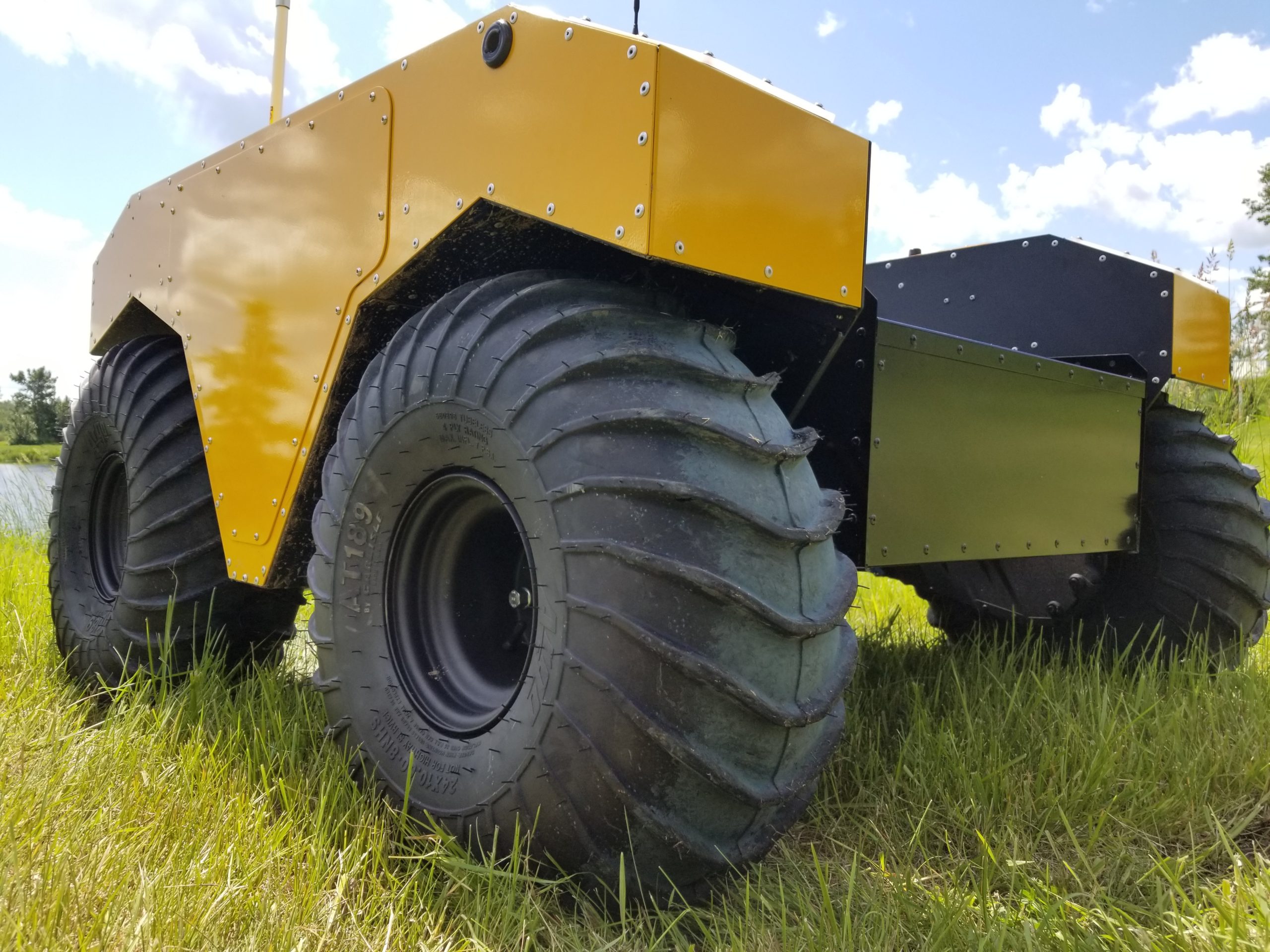
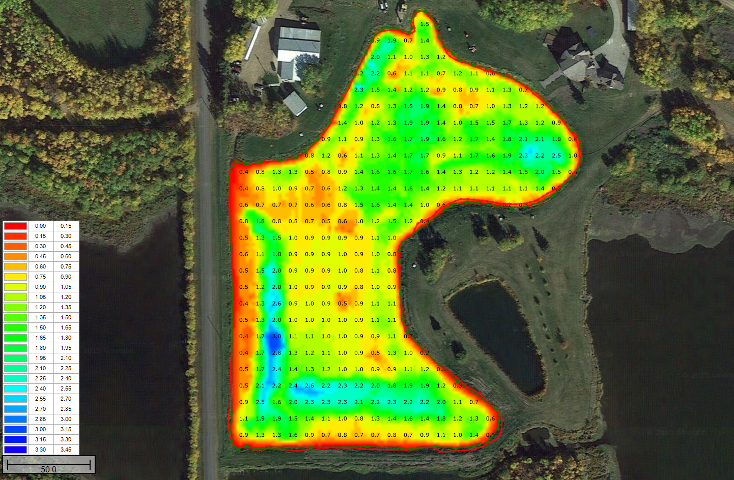
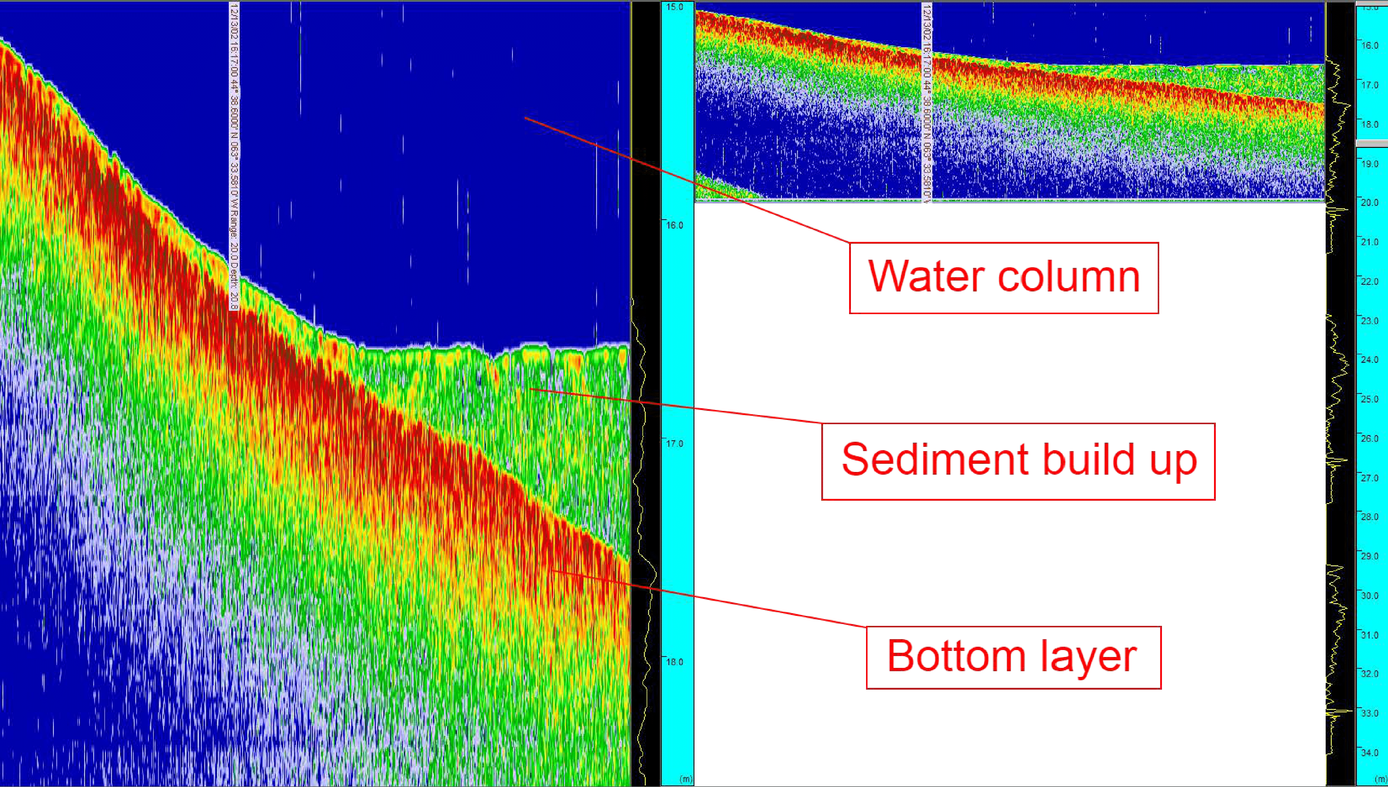
Our GPS positioned units report their position in real-time and do detailed surveys of objects on the bottom, the contour of the bottom itself, and even the ground composition underneath the bottom.
How Much is There?
Our Sonar Software calculates the volume of tailings or other material on the bottom.
Is it Broken?
Even in zero visibility, our sound waves paint pictures of intakes, outfalls, pipelines, and other items of interest so you can actually “see a picture”.
Benefits
- Obtain detailed bottom profiles and sub-bottom profiles.
- View bottom features that may hinder the flow of water or obstruct underwater intakes and outfalls
- Determine pond capacity at varying water levels
- Identify if there are voids or leaks below a liner.
- View bottom profiles projected on satellite imagery for a useful perspective of bottom features and sediment deposits


